

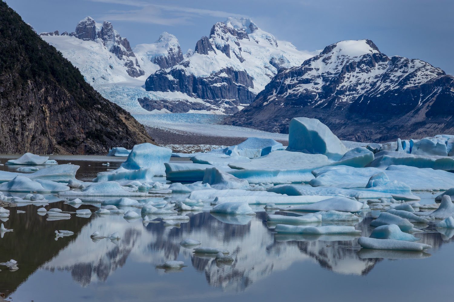
29 Oct PATAGONIA Part 1: Aysen and the North
There are few names in the popular imagination that capture the spirit of being at the ends of the earth as Patagonia. Stretching across the southern reaches of Chile and Argentina it is one of the least densely populated regions on the planet. For landscape photographers a trip to ‘Patagonia’ has become akin to a rite of passage or a pilgrimage. But the photographer’s Patagonia is really just a small pocket in the south based around the towering spires of Torres del Paine and the Fitzroy massifs. This area is justifiably renowned, and I had previously spent March and April of 2003 exploring this area of southern Patagonia – shooting what would turn out to be my final rolls of Fuji Velvia slide film. On this trip I had enjoyed both sides of the Patagonia coin: some of the most amazing light and some of the worst weather I’ve experienced anywhere. I also had the privilege of being entirely alone on a clear and calm autumn day at Laguna de los Tres.
In November and December of 2024 I finally managed to get back to Patagonia. The 2024 trip was to be quite a bit different. Rather than focusing solely on the renowned south, I would be starting in Santiago and travelling overland in an RV through the entirety of Patagonia to the southern tip of Chile – a distance of more than 3,000 miles to be covered in four and a half weeks. I would be travelling with three lifelong friends who are non-photographers, and although we shared the same ideas about visiting wild and spectacular landscapes, their tolerance for the typical noodling around we landscape photographers indulge in would be limited. So I was going to have to be very efficient with my shooting.
ARAUCANIA & LOS LAGOS
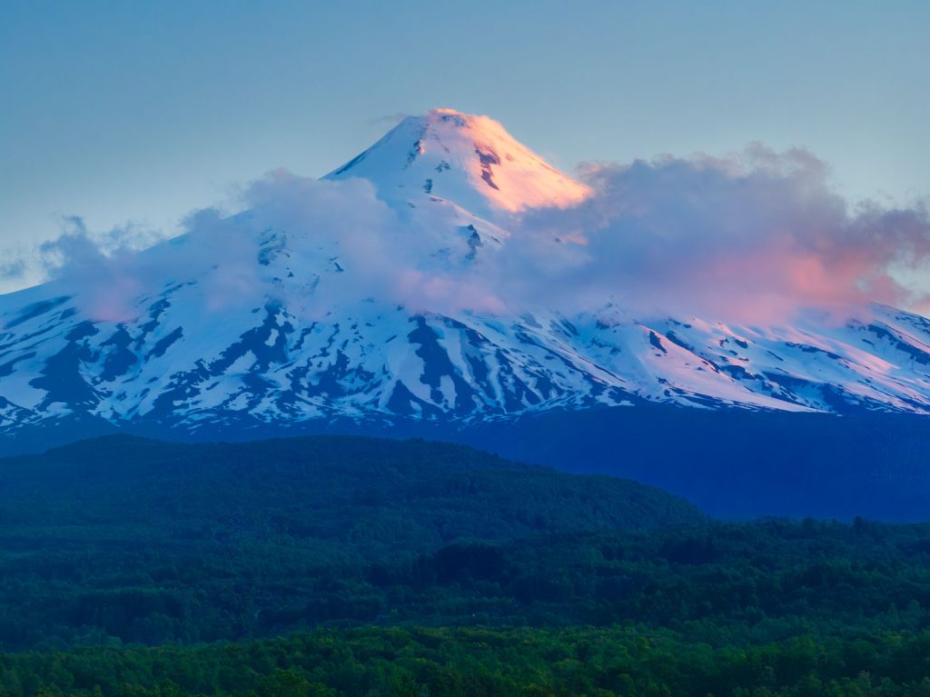
Four and a half weeks sounds like a long time, but the scale and sheer wealth of natural wonders in Patagonia meant we were on a tight schedule from the outset. In order to leave ourselves ample time for southern Patagonia we found ourselves sailing straight through regions that you could happily tour for a couple of weeks. Our first real stop was in the Araucania region which is roughly the size of Belgium or the U.S. state of Maryland. The climate, lakes, rich farmland and snow-capped volcanic summits here reminded me very strongly of the north island of New Zealand. I would love to go back specifically for photography. There are several super photogenic volcanoes in this region and the towns are very pleasant and laid back with good cafes, restaurants and hotels. We spent a few days based in the town of Pucon in the shadow of the towering cone of Volcan Villarica. I was hoping for a repeat of its 2015 eruption that sent lava fountains thousands of feet into the air – but that winning lottery ticket never appeared.
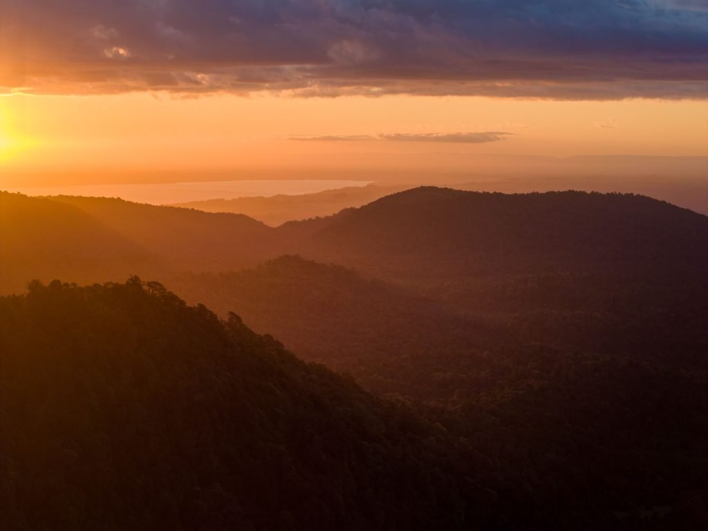
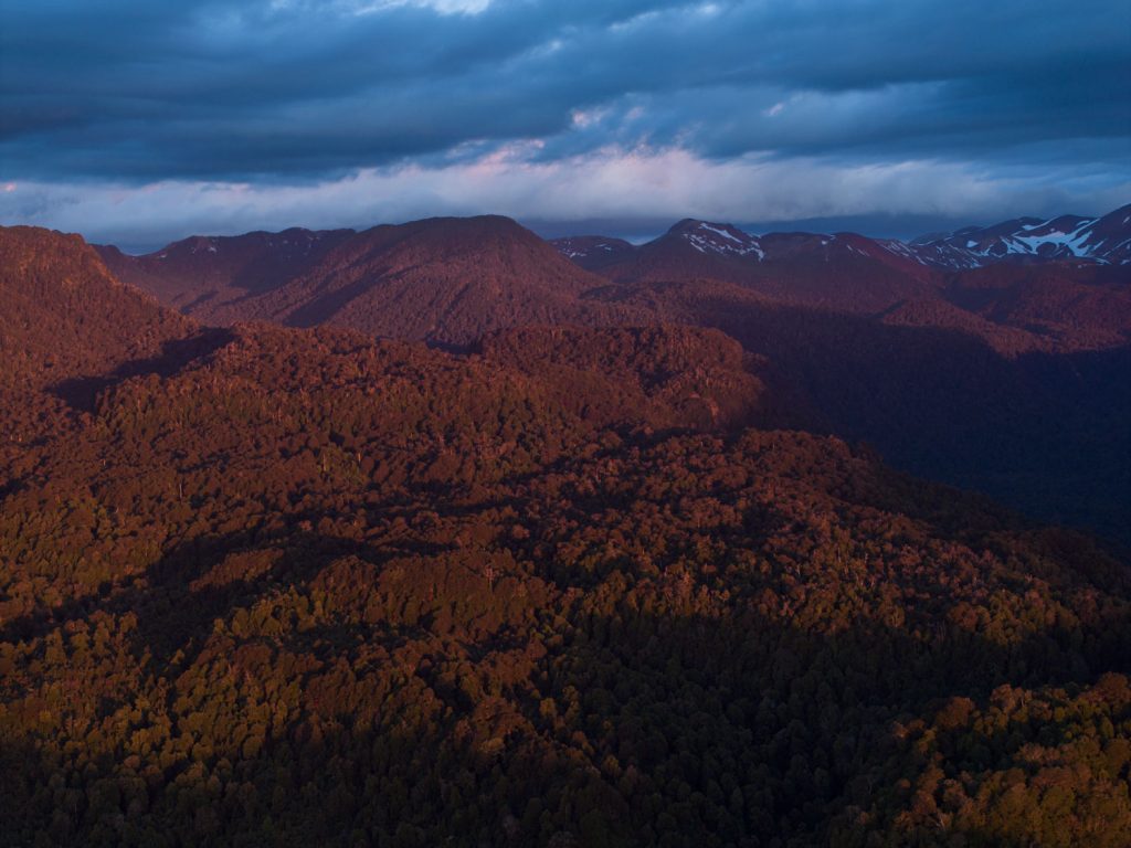
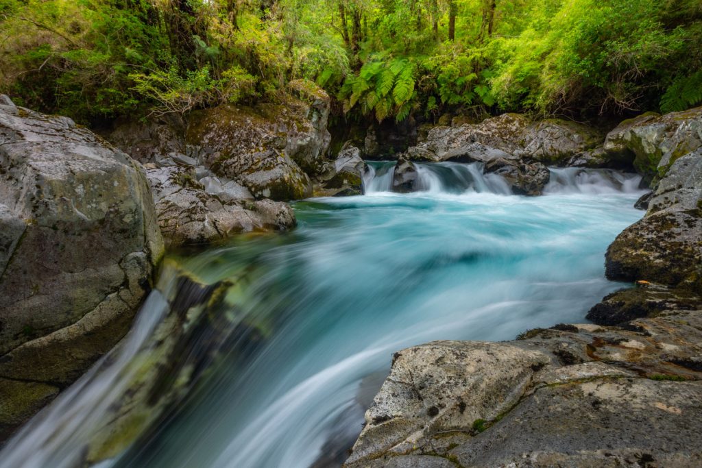
Our next stop was a days drive south into the Los Lagos district close to the watershed of the Andes and very close to the border with Argentina. Puyuhue National Park is characterised by lush Valdivian rainforest and hot springs. The high summits are hard to see here, so my photography was limited to some short hikes and sending the drone up through a gap in the canopy for a sunset shoot. Again there was a huge untapped potential here, albeit most of it would be arduous to reach involving tough hikes and camping in the backcountry. In planing for this trip I did the normal Google scout of images for the areas we’d be visiting, and turned up very little for much of Patagonia outside of Fitzroy and Torres del Paine. In fact there are swathes of wilderness here for which you won’t find a placename never mind a good image – or any image at all. Yet some of these places have world class potential for landscape photography. It’s just very, very hard to get at!
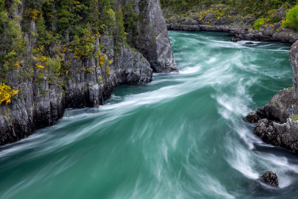
From Puyuhue we crossed the border into Argentina and spent a couple of days exploring the alpine backcountry near San Carlos de Bariloche before plunging south and back across into Chile and the Futaleufu River. This is a world renowned big volume whitewater kayaking and rafting river – but it is also exceptionally beautiful. Once again though you’d need time to explore and figure out vantage points and access. The surrounding mountains are also laced with some stunning alpine lakes such as Laguna Pinilla and remnant glaciers.
AYSEN – QUEULAT & CERRO CASTILLO
Shortly after leaving the Futaleufu valley we joined the Carretera Austral – the principal highway running north-south through the central region of Chilean Patagonia. Built during the 1970s under General Pinochet’s government to connect isolated southern communities, the road remains partly gravel and can be challenging to drive, especially in bad weather. We were now entering the Aysen region of Chilean Patagonia an area about the size of a small European country or a mid-sized U.S. state but with a population of just over 100,000 making it one of the least densely populated places on earth. Most of this population is focused in just few towns meaning that most of Aysen is entirely untouched wilderness. But once again that means access to the backcountry is limited and difficult.
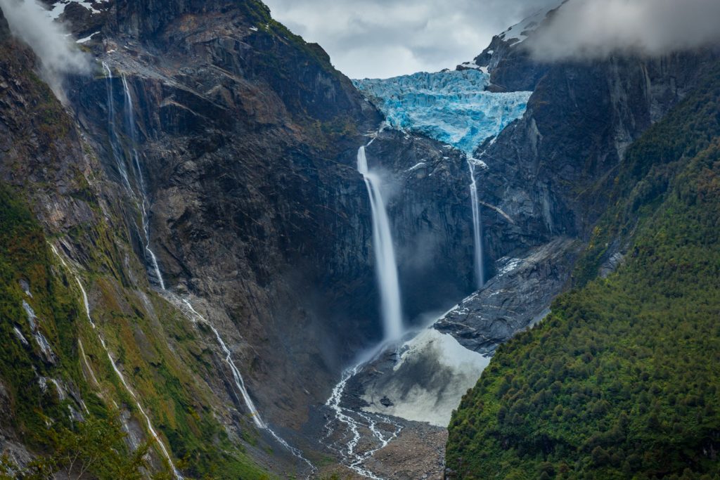
One limited exception is in Queulat National Park which at more than 1,500km2 is 50% bigger than Rocky Mountain National Park but has maybe only 20km of hiking trails. The highlight is undoubtedly the steep and rugged path up to a viewpoint through the rainforest of the the Ventisquero Colgante Hanging Glacier and waterfall. The waterfall is one of the tallest in South America at almost 2,000ft. The scale of this scene is hard to take in, but very easy to photograph aside from some encroaching vegetation. You;ll need something in the 24-105 range for this – its not a wide shot at all. There are also some beautiful sections of forest nearby. I only wish I’d stayed at the viewpoint an extra 10 minutes as there was a thunderous serac collapse shortly after I left which shook the whole valley.
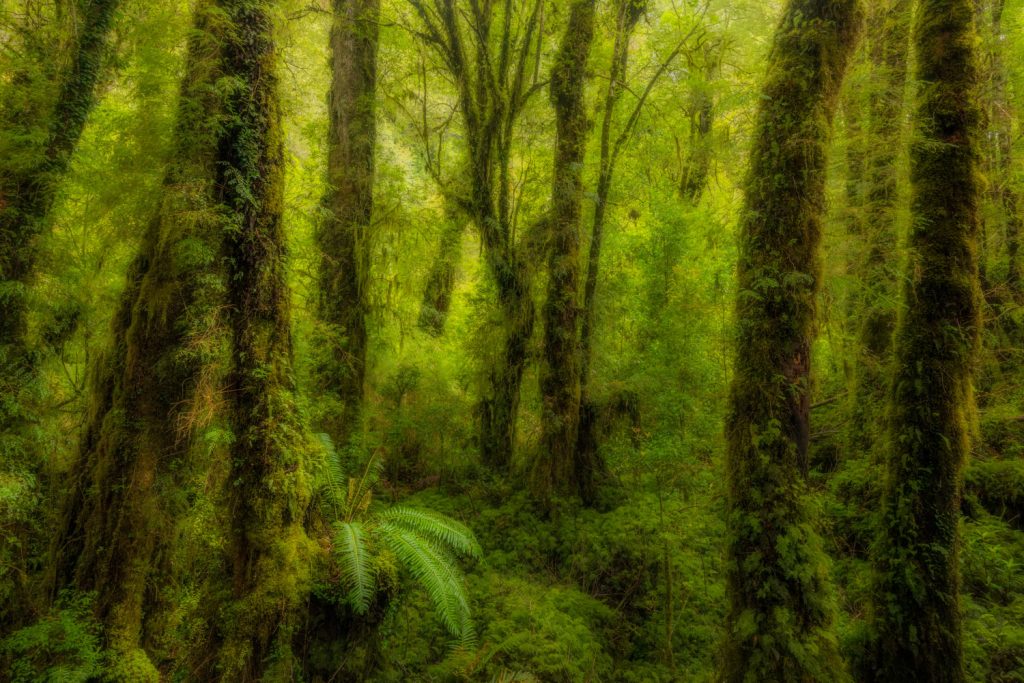
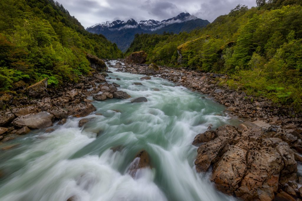
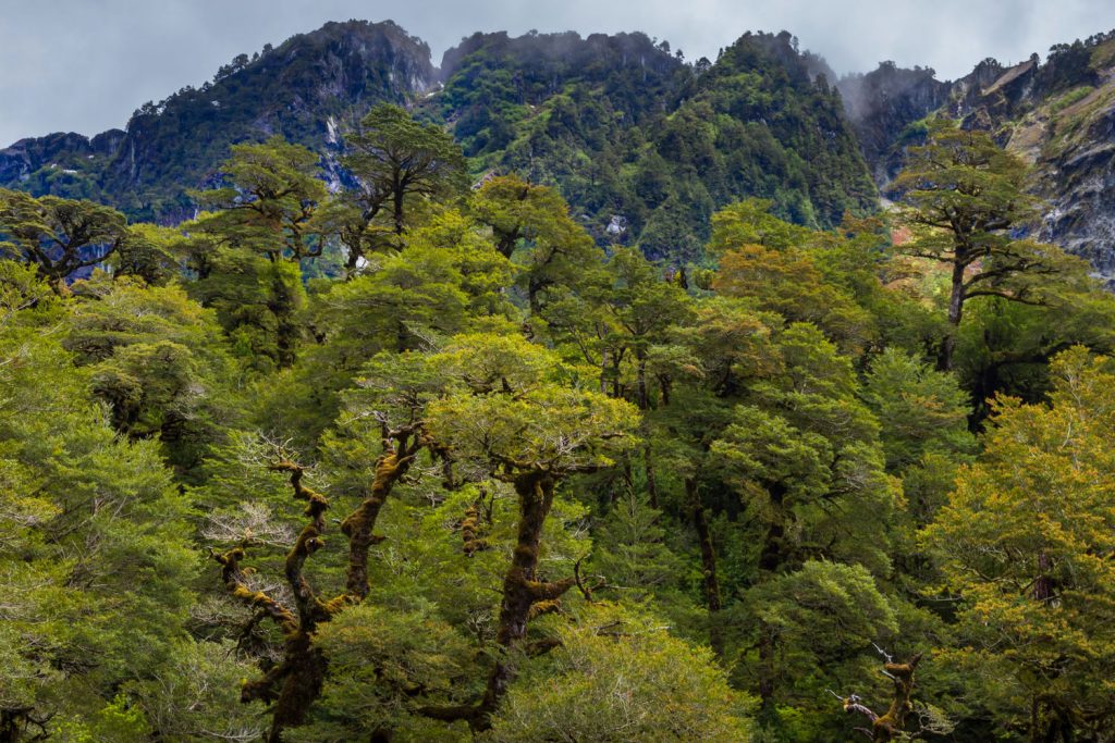
After just a day-trip into Queulat we continued south across the La Cuesta Queulat, the most challenging section of driving on the Careterra Austral – a long ascent with multiple steep, unsurfaced hairpin bends. After some ‘interesting’ moments our RV gained the summit. Along the way we saw some incredibly ancient looking beech forests – gnarled and cloaked in thick mosses. Once again a whole area to explore for photography – but not this time!
Now the Careterra Austral trended southeast into the fertile Simpson river valley – perhaps the only significant area of established agriculture in Aysen. We passed through the town of Coyhaique which is home to almost half of Aysen’s population – in an area more than twice the size of Switzerland. Most of Patagonia’s villages, town and cities have a frontier feel to them and Coyhaique was no different. Beyond the Simpson valley we climbed into wilder terrain, first an area of arid volcanic rhyolite hills reminiscent of the Landmannalaugar area of Iceland, and then the more typical Patagonia terrain of Cerro Castillo National Park.
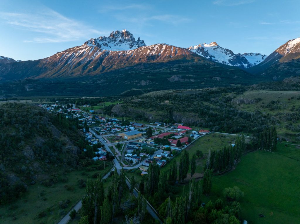
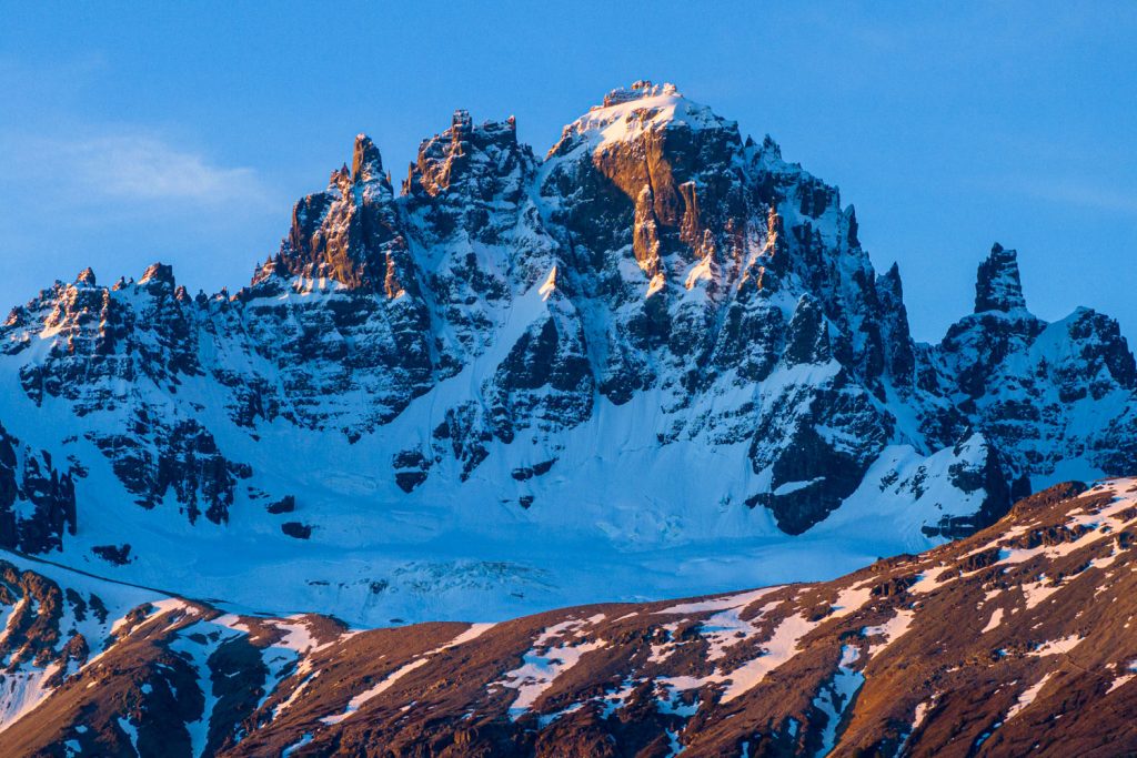
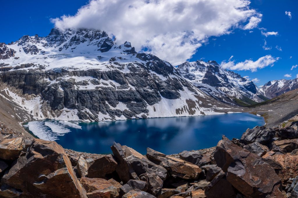
Cerro Castillo itself is a 2,675m-high summit with many towers and spires and would look entirely at home in the Dolomites (although the rock type is actually different). It is one if the most identifiable mountains in Aysen and there are actually quite a few hiking trails, both to the the base of the mountain and into the national park itself. We did take the day hike up to the ridge in the foreground of the image above, but the midday light was very harsh for photography. The view of the lake set immediately beneath the summit was worth the six hour round trip though.
AYSEN – LAGO GENERAL CARRERA
From Villa Cerro Castillo a couple of hours of driving on gravel roads took us through some beautifully remote-feeling river valleys to the shores of Lago General Carrera. This is the largest (almost 2000km2) and deepest (almost 2,000ft) lake in Chile, fed by the meltwaters of the Northern Patagonia Icefield or Campo de Hielo Norte. In geological terms it is a flooded graben, a down-dropped block of the earth’s crust. The glacial waters of the lake change with the light, varying between other-worldly shades of turquoise and azure.
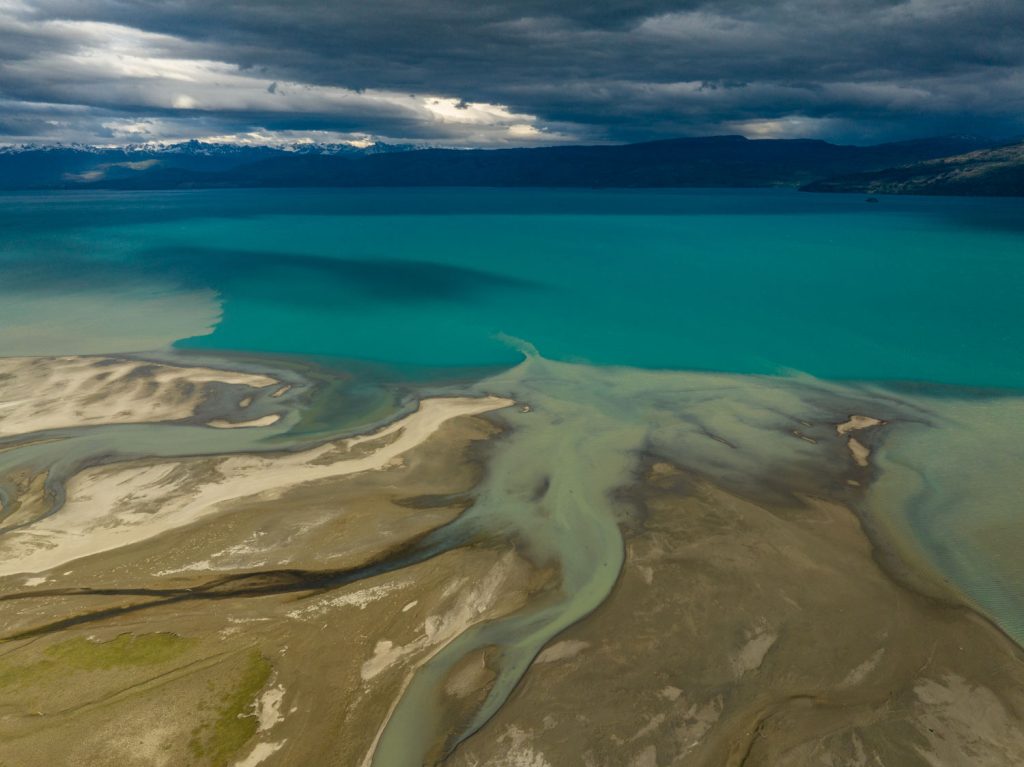
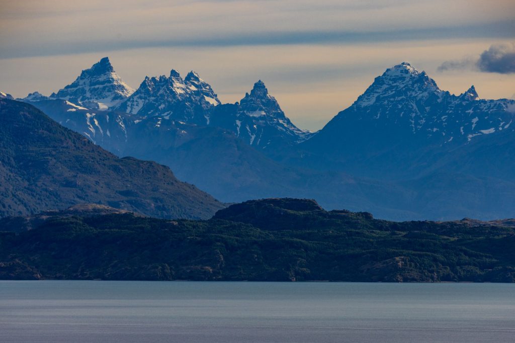
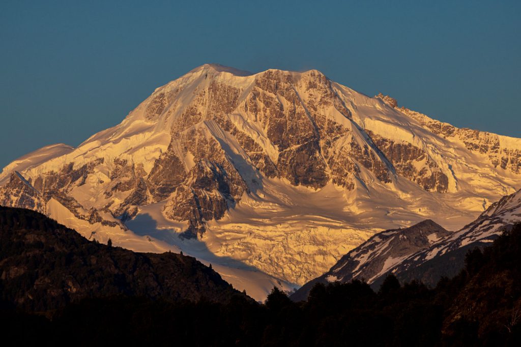
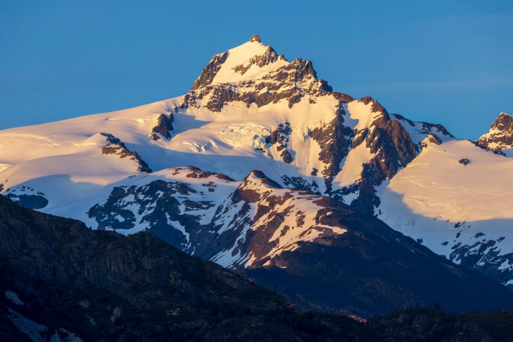
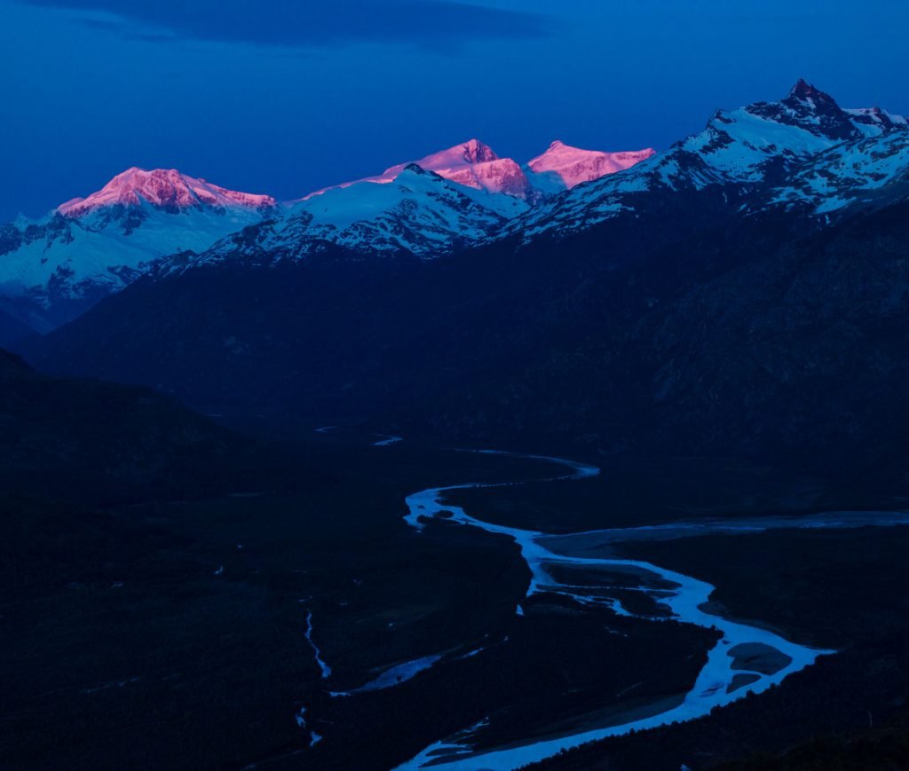
The lake is surrounded almost entirely by incredible mountains – the mountains of the icefield, including the highest in Patagonia – Monte San Lorenzo at 4,000m-high form a wall to the west. To the north are the towers and spires of the Sierra Avellanos and to the south the peaks of the Reserva Nacionale Lago General Carrera and the Patagonia National Park. The easy photography here is all shot from pull-outs on the Careterra Austral – mainly with a telephoto lens, but a drone is very useful also. There is potential to hike into the backcountry here but this is proper wilderness terrain with few paths of any kind and some serious un-fordable rivers to contend with. On this trip I contented myself with the road-based options and was rewarded with a beautiful morning of shooting the surrounding mountains while we enjoyed the comforts of one of the excellent lodges near Puerto Guadal.
AYSEN – THE NORTHERN PATAGONIAN ICECAP
In my pre-trip research I did a full day of Google Earth curiosity/rabbit-holing into the potential for photography around the Northern Patagonian Icefield. Just to reinforce the scale of the area – the icefield is contained within the Laguna San Rafael National Park which is twice the size of Yellowstone and features almost no physical infrastructure. However I had found details of a company who specialise in helping people access some of the backcountry either by jetboat or helicopter – Phillipe from Terra Luna. After a quick chat about the options available in the time we had and the weather forecast for the coming days we booked an overflight of the eastern side of the icefield with the hope that we could fly onto the icefield itself.
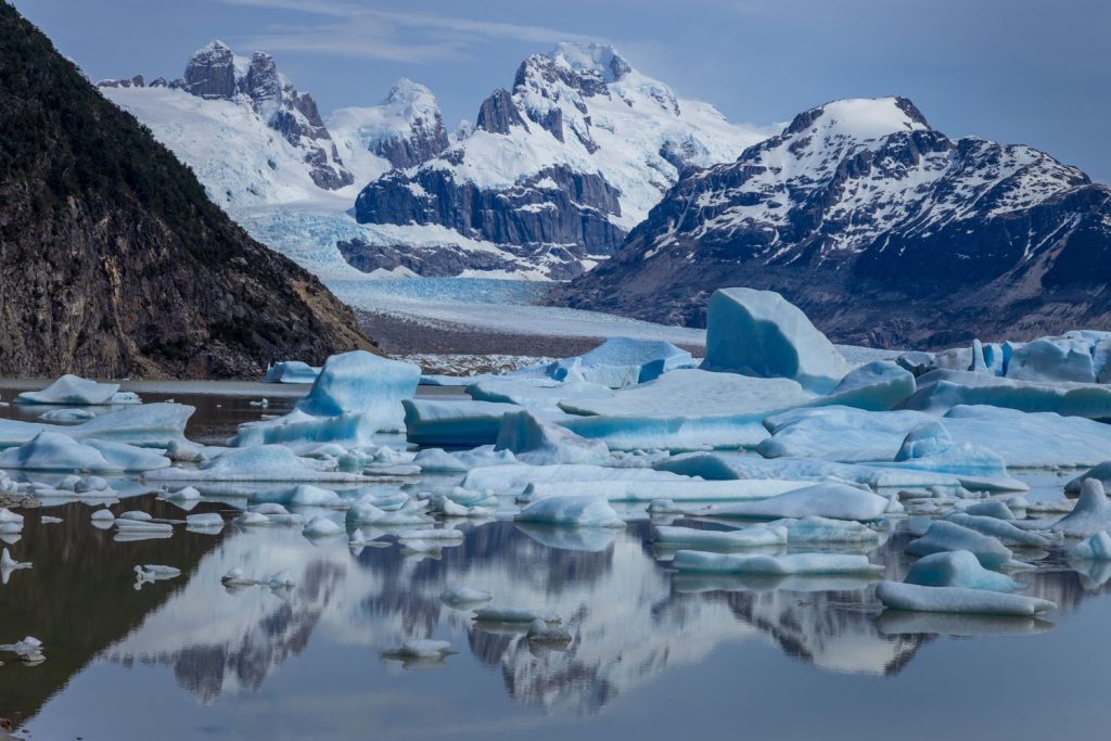
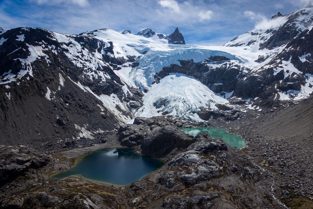
This was to be my first time shooting properly from a helicopter and my friends were gracious enough to allow me the front passenger seat to work from. This would be a through the plexiglass shoot, so reflections would be an issue, but in general the quality of most images did not suffer noticeably. Some of the worst reflections were dealt with pretty well with the Remove Reflections filter in Camera RAW/Lightroom. Unfortunately the weather window we had meant a middle of the day flight was the only option, and so the light was much harsher than I would have liked. But the experience was incredible. These mountains are not especially high but the extent of glaciation, and the vertical rise makes them look like they belong in Alaska or the Himalayas. They are truly stunning. The timing though meant I wasn’t stuck for light – I was able to shoot handheld between 1/400 and 1/1250 sec at f8 and almost entirely on my 24-105 lens – often with a polariser.
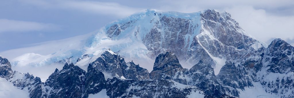
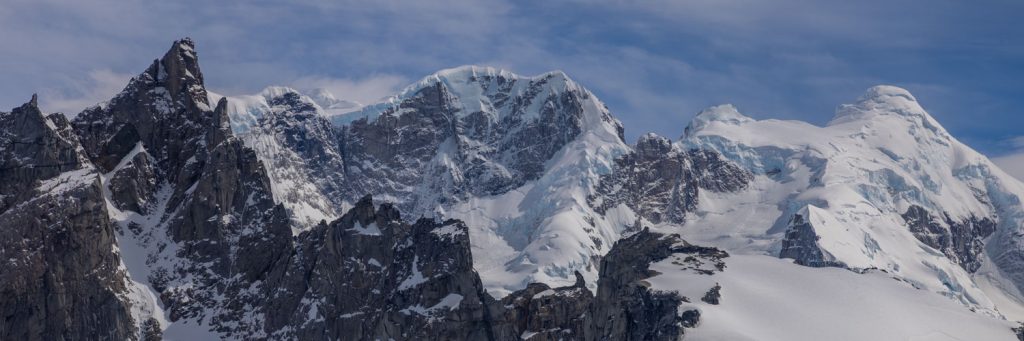
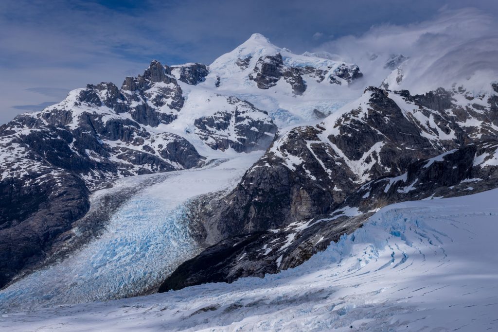
The itinerary took us southeast to the mighty Nef Glacier – I say mighty (and it is), but it is quite modest by Patagonia standards. We flew directly up the glacier headed for the icefield at the top. But just as we were close to making it, we were suddenly rocked and buffeted by the strong katabatic airflow coming down from the plateau. Phillipe made the decision to abort this part of the trip and no one was complaining – the helicopter had gone very quiet! Having been rebuffed by the icefield we instead traversed across the eastern wall of the icefield range with incredible views into a series of deep valleys and glaciers. Especially impressive was the overflight of the Leones and Fiero glaciers and the up close views of Cerro Fieros southeast face. There are at least two or three amazing eyeries here with potential for a helicopter supported camps for photography. To be in these places for beautiful light would be quite something. I’ll definitely be back.